Showing 10-9 of 9 results
Geographical Information System and Remote Sensing
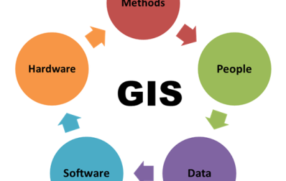
COURSE COMPETENCES The difference between the various data models. Analyze data using vector and raster methods in mult- criterial analysis. Understand some advanced topic in raster data analysis. Design and implemention of a GIS project. COURSE CONTENTS Introduction to GIS concept. Map production in GIS. Using a GPS and integrating…